


Turn raw XGRIDS scan data into clean, engineering-ready point clouds with powerful processing, measurement, mapping, mesh, PPK and export tools.
CONTACT RAPID SCAN 3D SYSTEM REQUIREMENTS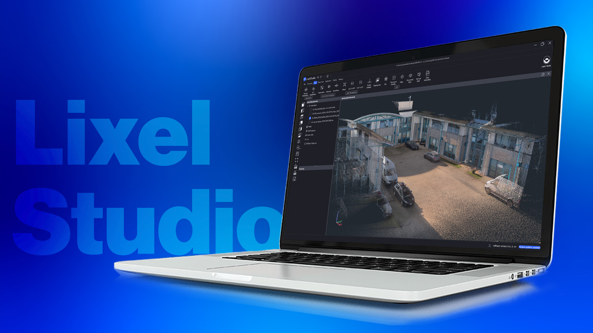
XGRIDS LixelStudio is the primary point-cloud processing workstation for XGRIDS Lixel scanners.
The software transforms raw mobile LiDAR capture into clean, leveled, colorized and measurable point clouds ready for downstream surveying, CAD, BIM and GIS workflows.
LixelStudio 4.0 introduces upgraded processing algorithms, improved coloring, intelligent filtering, enhanced leveling, better mesh reconstruction and a redesigned 3D workspace.
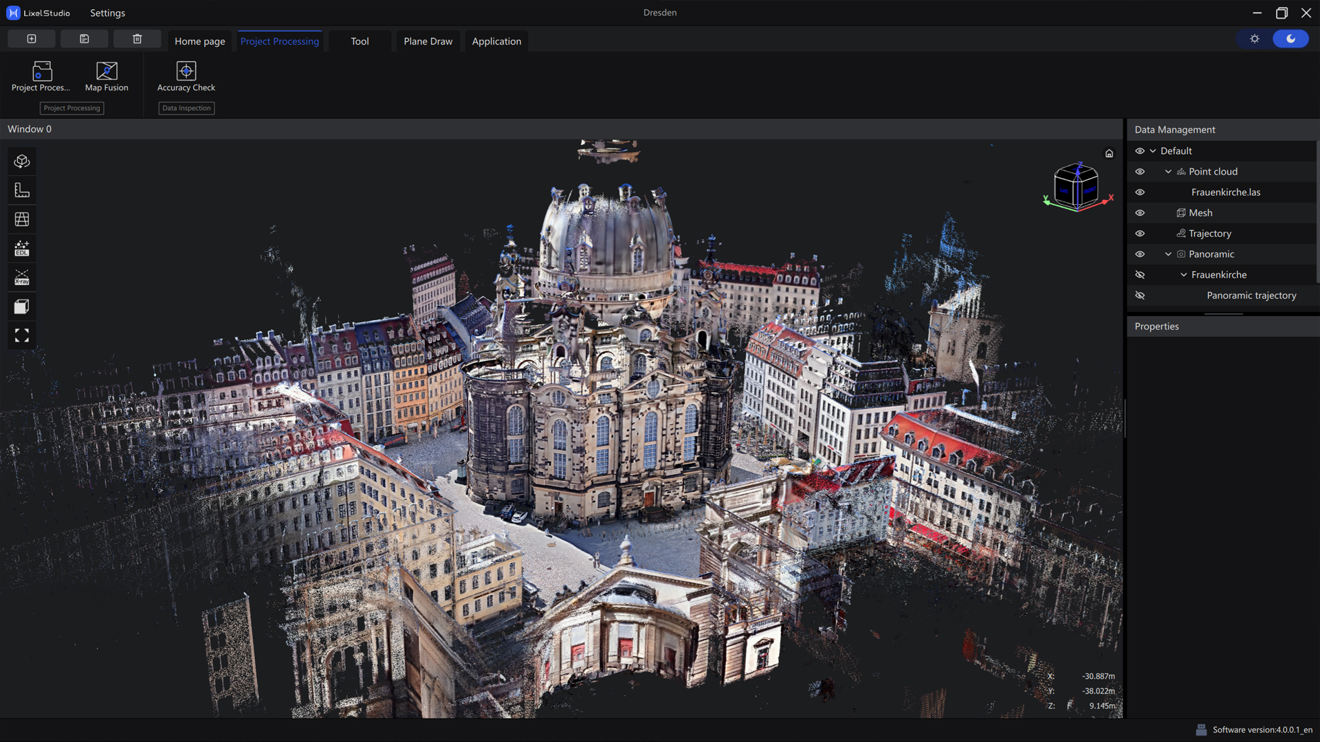
Instead of moving between multiple applications for basic post-processing, LixelStudio combines the primary processing and analysis tools in one interface.
Process raw XGRIDS scanner data into optimized point clouds with streamlined automated workflows.
Reduce noise and trailing artifacts while preserving important structural geometry.
Export spatial data for ReCap, AutoCAD, Revit and other engineering applications.
Scan the project using a compatible XGRIDS Lixel scanner and LixelGO.
Load raw project data into LixelStudio for SLAM optimization, coloring and cleanup.
Measure, create sections, calculate volumes or export engineering-ready point clouds.
LixelStudio 4.0 includes upgraded color-processing algorithms designed to produce more natural, photorealistic point clouds.
The updated pipeline also improves color quality in challenging low-light interior environments.
Combine measured LiDAR geometry with XGRIDS camera imagery for visually rich engineering point clouds.
Updated leveling algorithms help produce vertical walls and horizontal floors without excessive manual correction.
Proper orientation matters when point clouds are being used for drawings, BIM and engineering documentation.
LixelStudio 4.0 improves leveling accuracy so processed data can move more efficiently into downstream workflows.
Mobile scanning environments often contain moving people, vehicles and other temporary objects. LixelStudio provides processing tools to improve point-cloud cleanliness before delivery.
Reduce artifacts caused by people and other moving objects during capture.
Remove unwanted noise while retaining important structural edges.
Current LixelStudio releases include additional LiDAR threshold filtering during project processing.
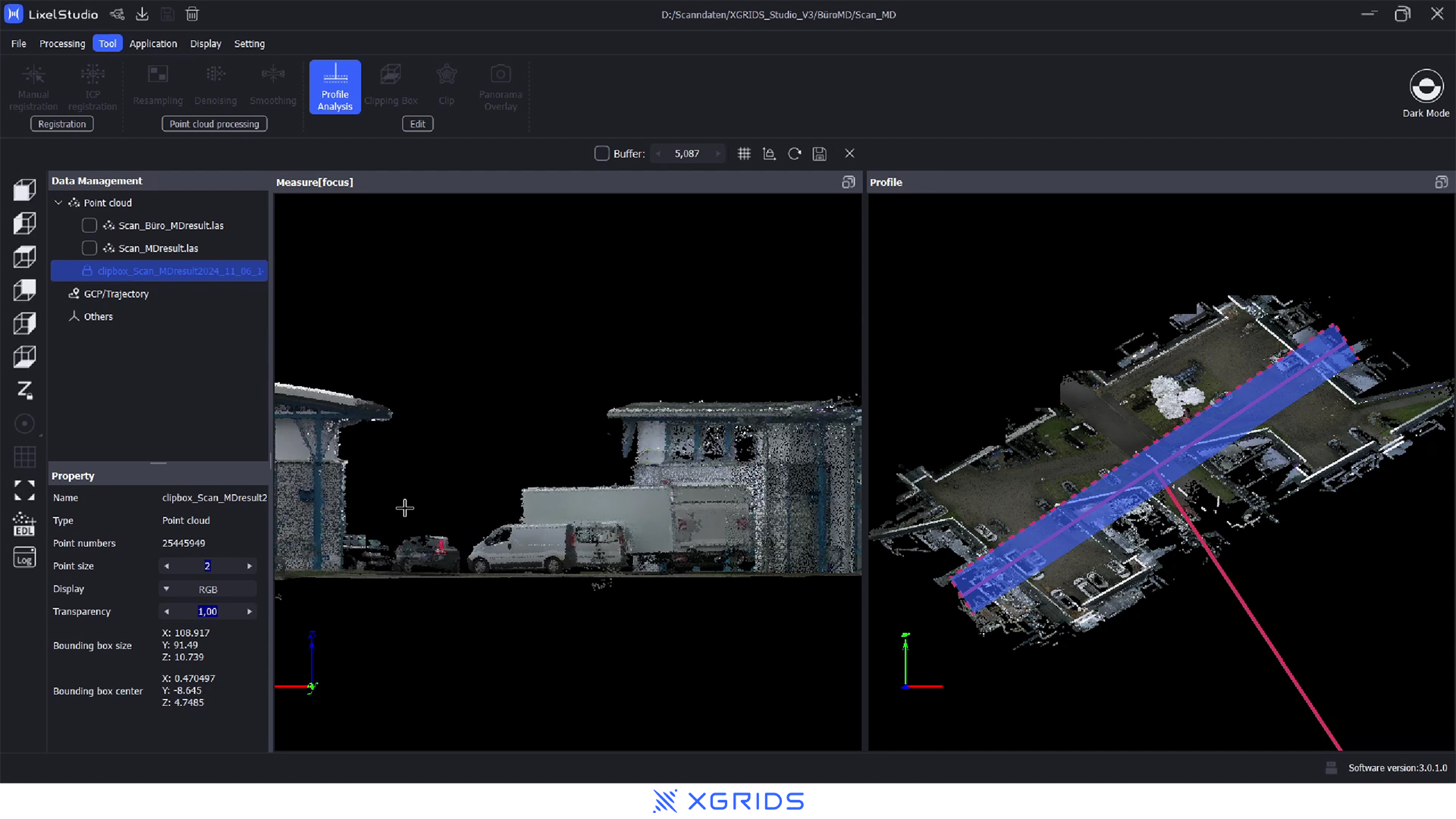
LixelStudio includes analysis tools for extracting dimensions directly from processed LiDAR data.
Process spatial data and calculate volumes directly inside LixelStudio.
This makes the software useful for mining, aggregate, construction, earthworks and inventory applications.
Capture with a Lixel scanner, process in LixelStudio and calculate volumes from the resulting point cloud.
Isolate a selected portion of a point cloud for focused analysis.
Create horizontal point-cloud sections for floor-plan and architectural workflows.
Generate building sections and profiles from measured spatial data.
Current releases include box-selection tools for faster clipping and data isolation.
Inspect cross-sections of surfaces and structures.
Review coordinates and identify specific locations within the dataset.
Extract useful plan information from measured 3D point-cloud data.
LixelStudio includes plane-drawing functionality for users who need simplified 2D documentation.
Break larger environments into practical scanning segments and combine compatible datasets during post-processing.
Map Fusion is particularly valuable for larger building, industrial, infrastructure and campus projects.
Build larger continuous spatial datasets without forcing an entire project into one scanning session.
Process positioning information for survey-oriented projects and absolute-coordinate point clouds.
LixelStudio includes tools for RTK, PPK and control-point workflows, allowing compatible data to be tied into real-world coordinate systems.
LixelStudio 4.0 includes enhanced mesh reconstruction for compatible XGRIDS scan data.
The updated engine is designed to create cleaner structure, fewer holes, improved separation and sharper texture maps.
Enhanced noise resistance helps reduce unwanted geometry and reconstruction artifacts.
Improved reconstruction provides cleaner boundaries and stronger object separation.
Updated texturing improves color fidelity and visual clarity.
LixelStudio acts as the bridge between raw XGRIDS scan data and common surveying, CAD, BIM and visualization software.
LixelStudio can convert processed point-cloud data into RCP for use with Autodesk applications.
Convert processed LAS point clouds to RCP directly through LixelStudio's data-conversion tools.
Process K1 mobile LiDAR projects for point-cloud, BIM and engineering workflows.
Take advantage of current LixelStudio 4.0 processing with the lightweight K2.
Process high-density, long-range L2 Pro datasets for major projects.
Process existing-condition scans for downstream BIM modeling.
Process georeferenced point-cloud datasets for surveying deliverables.
Document progress, measure conditions and compare project stages.
Calculate stockpile, earthwork and material volumes.
Analyze underground and corridor-based point clouds.
Process factories, mechanical spaces and complex industrial environments.
Generate measured spatial datasets for renovation and property documentation.
Process detailed captures of historical structures and cultural environments.
Process natural environments, terrain and vegetation data.
Visualize high-resolution spatial datasets directly in LixelStudio.
Navigate and manage complex building and infrastructure datasets.
Inspect measured point-cloud geometry from multiple views.
Process, measure and prepare data for downstream CAD and BIM software.
XGRIDS released LixelStudio version 4.0.1.6 on August 20, 2026.
Recent improvements include selectable mesh reconstruction accuracy, privacy protection, improved project-processing efficiency, expanded plane-drawing tools, LS Cloud and LiDAR threshold filtering.
Point-cloud processing is computationally demanding. XGRIDS recommends a dedicated Windows workstation with NVIDIA graphics for the best experience.
| Component | Basic | Recommended |
|---|---|---|
| Operating System | Windows 10 / 11 | Windows 10 / 11 |
| Processor | Intel Core i7 9th Gen | Intel Core i9 12th Gen |
| Graphics Card | NVIDIA RTX 2060 6 GB | NVIDIA RTX 3070 or Higher |
| System Memory | 32 GB | 64 GB |
| Storage | 1 TB | 1 TB SSD |
Both are part of the XGRIDS ecosystem, but they serve different primary purposes.
Choose LixelStudio when the primary goal is measured LiDAR data for surveying, CAD, BIM, volume calculations and engineering.
Choose Lixel CyberColor when the primary goal is highly photorealistic 3D Gaussian Splatting visualization.
Rapid Scan 3D can help you understand the complete XGRIDS workflow from field capture through point-cloud processing and downstream CAD or BIM delivery.
Learn how LixelGO, LixelStudio and Lixel CyberColor fit together.
Match LixelStudio with the appropriate K1, K2 or Lixel L2 Pro scanner.
Build workflows for Scan-to-BIM, surveying, construction and digital twins.
Contact Rapid Scan 3D to learn more about LixelStudio, compatible XGRIDS scanners, workstation requirements and complete reality-capture workflows.
CONTACT RAPID SCAN 3D

